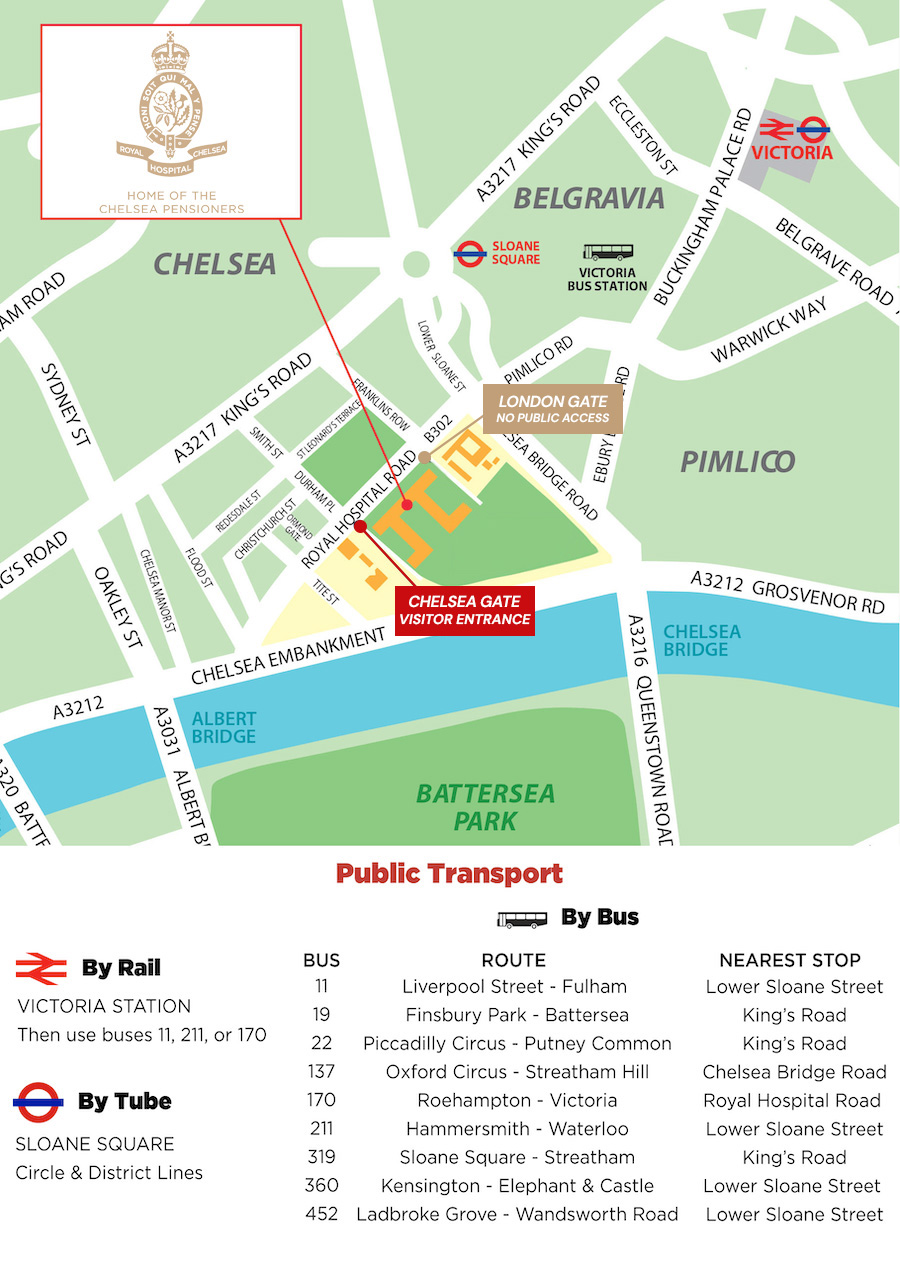
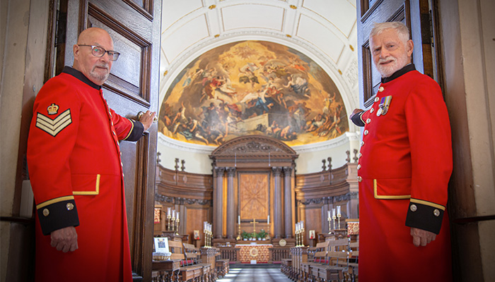
Plan Your Visit


Visitor Information:
Address:
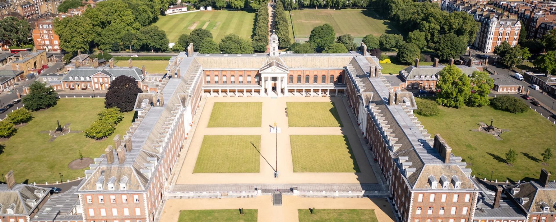
Visitors should arrive at Chelsea Gate
Royal Hospital Chelsea
Royal Hospital Road, London, SW3 4SR
Open in Google Maps
The Royal Hospital Chelsea is easily accessible by road and public transport.
By Train
- London Underground: The nearest station is Sloane Square, served by the District and Circle Lines.
- Overground: The nearest station is Victoria.
By Bus
- Direct Service: Bus 170 from Victoria & Roehampton stops right outside the Hospital.
- Nearby Services: Buses 11, 137, 211, 360 & 452 stop a short walk from the Hospital.
Parking
- On-Street Parking: There is very limited space available on the roads surrounding the Hospital.
- Public Car Parks: The closest options are located at Cheltenham Terrace, Chelsea, or Cumberland Street, Pimlico.
- Note that resident parking schemes are in force throughout the area.
Location Map: